
Bruton Vineyard Bay, NC
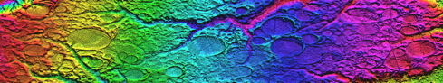
Perhaps the highest-elevation bay planform identified in the survey along the east coast is located at 204 meters above sea level, along NC Highway 211 about halfway between Cantor and Eagle Springs, NC. The elevation profile suggests rims run 4 to 6 meters above the floor.
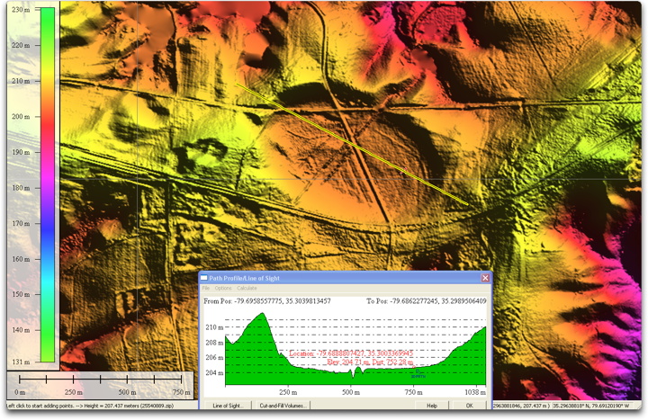
A high resolution version of the above map is available HERE.
Our hypothesis suggests that any broad land surface with minimal vertical relief may host one of the “popped bubbles” during the ejecta deposition. Such locations are hard to find in the more rugged, higher elevations. We note that such location in these areas are often currently being mined for sand. The following graphic shows the same view without the LiDAR overlay.
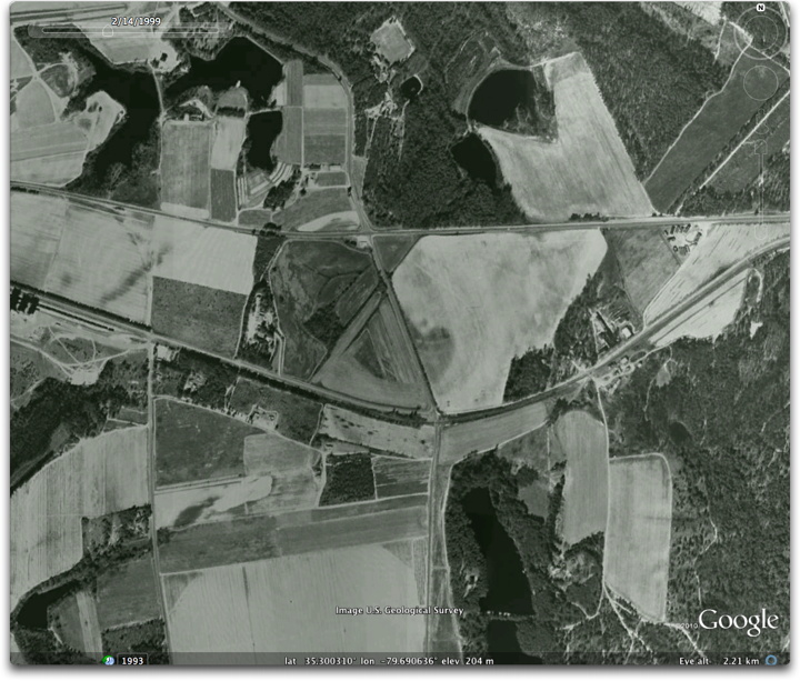
Finally, a Google Earth Plug in window to explore the bay with. Clicking on the placemark at the center of the bay will bring up the information balloon, which displays the metrics for the bay and offers a link to the overlay for placement in your desktop version of Google Earth. The liDAR overly is constructed so that it exits when below 3 km eye view, allowing the user to view the satellite imagery ( set to historic b&w from the 1990’s)
The KMZ for loading into Google Earth is available HERE.